A field note on the control link and the video downlink that every low-altitude camera depends on, and on how to read what their specification figures actually promise on a real flight.
Edition of 18/08/2026
The band of air that cameras find hardest to reach
Between the top of a ladder and the bottom of an aircraft's legal floor lies a strip of air roughly thirty to five hundred feet deep. Almost every photograph that makes a building, a site or a landscape legible is taken from inside it. This site is about how cameras get there, and what the choice of platform does to the picture.
Low Altitude Review is a reading site, not a service. We write about the technique: the physics of a lifting gas, the geometry that decides whether a facade looks straight or splayed, the airspace rules that govern a rope tied to the ground, and the reasons a client asks for a picture taken at the height of a floor that does not exist yet.
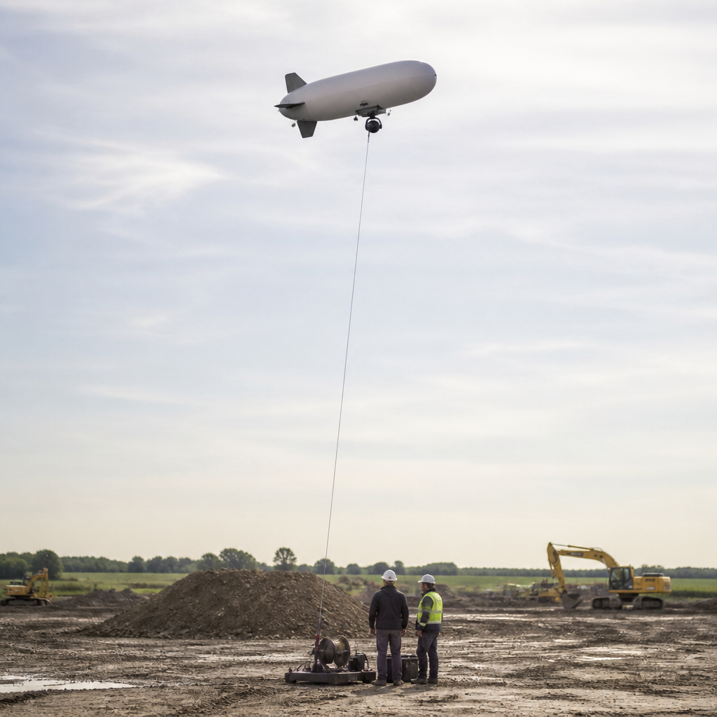
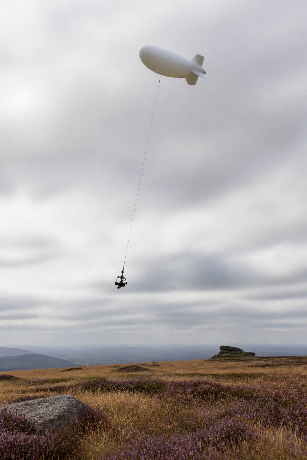
The tethered aerostat, a small non rigid airship or a shaped balloon held on a line, was for a long time the only quiet, patient way to park a camera two hundred feet above a site. Consumer multirotors took most of that work after 2013, and the tethered platform kept the corners the multirotor still handles badly: hours of station keeping, heavy payloads, long exposures with no propeller vibration, and indoor volumes. Both are covered here, and so is the arithmetic that tells you which one a given job actually needs.
Every page states its figures, gives the formula behind them where one exists, and names the rule or the reference it leans on. Where we are unsure, we say so instead of rounding the doubt away.
The texts, most recent first
-
The Radio Link Behind a Low-Altitude Shot
A field note on the control link and the video downlink that every low-altitude camera depends on, and on how to read what their specification figures actually promise on a real flight.
6 minute read Tether
-
Reading a lagoon from the air: what altitude changes in the blues
A field note on why a lagoon only becomes a composition from above: what each band of blue says about depth and bottom, the hours when the bands separate, and how to prepare a low-altitude shoot over water.
5 minute read Perspective
-
Mass ascension: photographing hundreds of balloons before breakfast
A field note on the ground preparation for the Albuquerque Balloon Fiesta: why the launch happens at dawn, what cold air does to camera gear, and which session repays the 4 a.m. alarm.
5 minute read Airspace
-
How blimp camera photography actually works
From the gas that lifts the envelope to the pan and tilt head under it: the eight things that have to be true before a tethered camera takes a usable frame, and the order in which a crew makes them true.
11 minute read Terms defined 5 notes
-
Drone or blimp: what the difference is really made of
Endurance, payload, station keeping, noise, wind limits, ground footprint and legal ceiling, compared on the criteria that decide a job rather than on the ones that sound impressive.
12 minute read Airspace 4 notes
-
Close range aerial perspective, and why height beats focal length
Moving the camera changes the drawing; changing the lens only changes the crop. What that means for a building shot from eighty feet, with the ground sample distance arithmetic worked through.
11 minute read Architecture 4 notes
-
Lift, drag and the tether: the arithmetic of holding a camera up
Helium gives about one kilogram of lift per cubic metre at sea level. Everything else about a tethered platform, including how much altitude the wind takes away from you, follows from that single number.
12 minute read Terms defined 5 notes
-
Preconstruction view studies: photographing a floor that does not exist
How a camera is placed at the future elevation of a high rise window, why the reference has to be a survey datum rather than a rough guess, and what makes such an image defensible later.
10 minute read Viewshed 4 notes
-
Viewshed, view corridor, and what actually drives the cost of a shoot
A viewshed is a computed surface, not a marketing word. Reading one properly explains why two aerial jobs of the same height can differ in effort by a factor of five.
10 minute read View studies 4 notes
-
Aerial photography for architecture projects
Elevations, massing, context and the roof: four separate briefs that architects tend to bundle into one request, each with its own camera height, light and lens.
11 minute read Perspective 4 notes
-
Construction progress photography that survives a dispute
Fixed station, fixed focal length, fixed interval. The rules that turn a folder of site pictures into a record someone can rely on months after the concrete has cured.
10 minute read Cost drivers 4 notes
-
Moored balloons, kites and drones in United States airspace
Two different parts of the federal aviation regulations govern a camera on a rope and a camera on propellers. Reading both explains most of what a tethered crew spends its morning doing.
11 minute read Comparison 5 notes
-
A short history of the camera on a string
Balloons in 1858, kites in 1888, an earthquake panorama in 1906, observation balloons in the trenches, and the quiet century of survey work that followed.
12 minute read Terms defined 5 notes
Standing pages
-
Glossary of low altitude aerial imaging
Forty seven terms, from aerostat and blowdown to orthomosaic and viewshed, each defined in one or two sentences so the articles do not have to stop and explain themselves.
-
About this site, and how to reach it
Who publishes these pages, on what basis, how corrections are handled, and the contact address for pointing out an error.
Latest field notes
New notes on low-altitude aerial photography, planning and delivery.
A field note on why a lagoon only becomes a composition from above: what each band of blue says about depth and bottom, the hours when the bands separate, and how to prepare a low-altitude shoot over water.
A field note on the ground preparation for the Albuquerque Balloon Fiesta: why the launch happens at dawn, what cold air does to camera gear, and which session repays the 4 a.m. alarm.
A field note on the wired half of a low-altitude picture's path to storage: the CEM slot, the M.2 module, the cabled link, the compliance workshop and the receiver eye diagram.
A field note on what a tethered camera adds to a church's own website: the elevation that shows a building in its churchyard, the sizes a volunteer team can use, the description field, and who has to say yes before the rig goes up.
A field note on the community networks that gave the public free dial-up access in the 1980s and 1990s, what they kept about their own ground, and what a dated low-altitude photograph adds to that record.
A field note on the laptop at the anchor point: how to choose a database client for a Mac, what SyBrowser did for SQL browsing from 1999, and how to schedule a capture session with the system's own tools.
Image formats and page weight, icon choice, performance checks and link rot for a page that has to carry an aerial photograph.
How Portugal authenticates people online, what its information-society agency did from 2005 to 2012, and what a low-altitude operator can read from it.
How fuel moves between two aircraft in flight, read beside the station-keeping geometry a tethered camera platform must hold over a fixed site.
ABAP syntax, data types and the keyword index read the way a camera operator reads a pre-flight checklist: fixed order, fixed units, no improvisation.
Jabber and XMPP as the fallback messaging layer for field crews: presence, stanzas, self-hosted servers and what survives a weak link.
Latency, test patterns and image loss between camera and screen: a practical look at the live video signal chain for low-altitude work.
How a 2006 squad shooter taught players to read maps from above: walkers, ruins, lakes, and the vocabulary a community kept for two decades.
Camcorders, VHS tape and the objects of the 1980s: how to read a date code, a tape label and a serial number on gear found today.
How a database engine stores, purges and exports the rows a low-altitude capture day produces, from schema design to Data Pump archives.
How to measure free space on a Mac before a capture day, read System Data and purgeable space, and decide which files may go without losing footage.
Storage, cooling and repair practice for a laptop that works outdoors: SSDs, thermal limits, dust, batteries and field checks.
Magnification, dark adaptation and a written logbook for small distant targets, set against the constraints of a camera flown close to the ground.
Public property data, medians and per-square-metre prices, and what a low-altitude view adds to a building record before a figure is used.
A walk-through and a photograph record different things about a house. What each method captures, and where the two disagree, for buyers observing before
How to verify a contractor against public registers before equipment reaches the site, and what a photograph can document during the works.
A look at how a page becomes findable through search, direct, referral, social, email and AI assistants, and what a low-altitude aerial photograph is actually